
Natural Earth Data
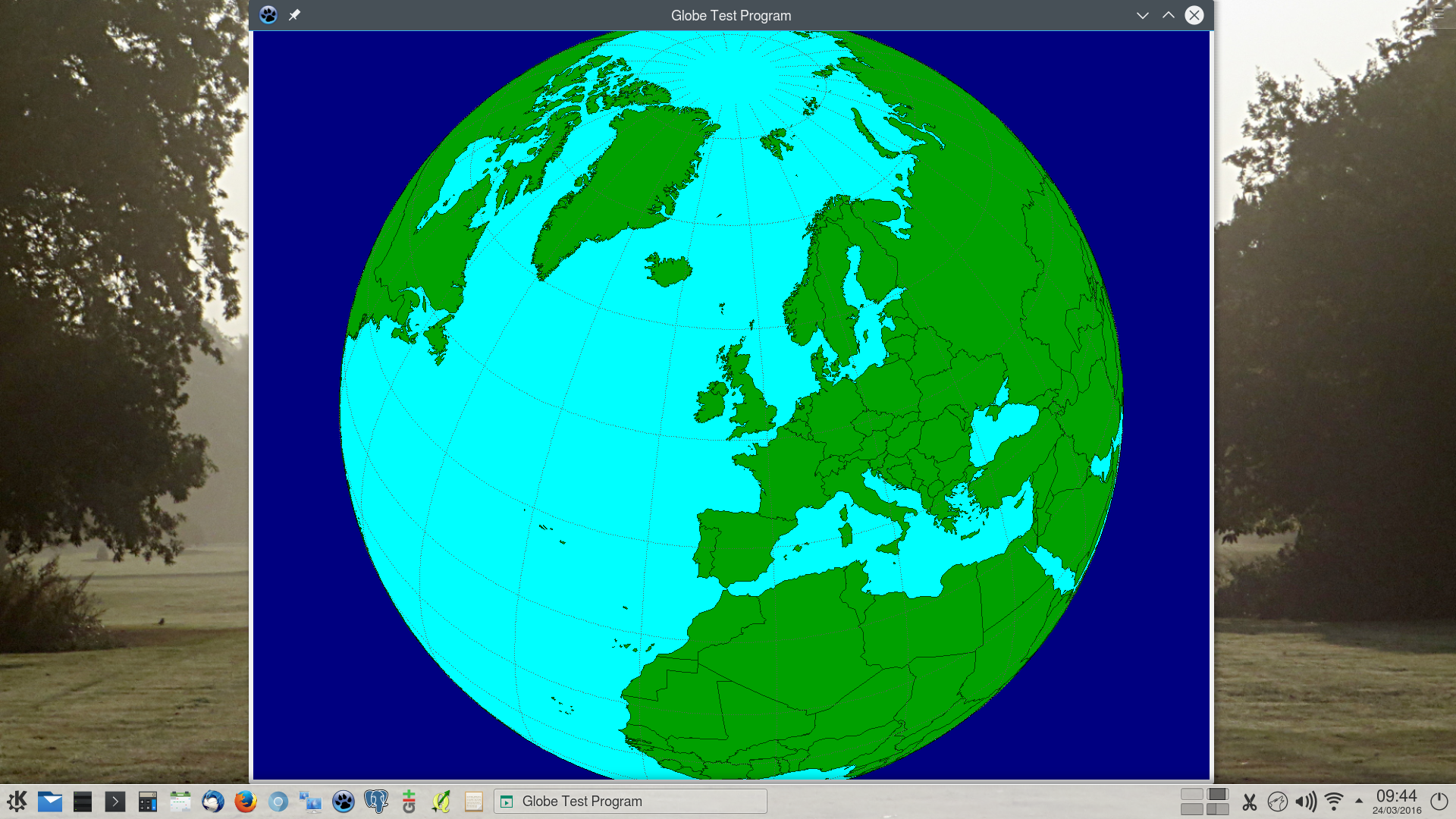
For a recent project I needed to produce a globe display, similar to Google Earth. However, it needed to be completely embedded and not require an active internet connection. To keep it compact, I wanted a good quality vector dataset for national boundaries. It needed to be under a liberal licence so that I could modify it if needed. It also had to be free from any licence tracking requirements and permit distribution with my application.
Fortunately my research lead me to discover the Natural Earth project. It contains exactly what I needed and more besides, in both vector and tiled raster formats. It is released into the public domain and so its reuse is completely unrestricted.
In the 1:10M cultural vector data is an 8.2Mb shape file containing country multi-polygons: ne_10m_admin_0_countries.shp. With line simplification this could be reduced to just under 1Mb as Well Known Text and when Z compressed reduced further to 334Kb. This was then directly linked as a resource file into the application. The built test program itself was 2.5Mb (Linux 64bit GTK2) with no additional external dependencies.
So if you need good quality global mapping data, supplied under liberal licensing terms, I strongly recommend that you investigate the Natural Earth website.